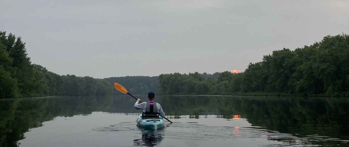
The Sudbury, Assabet and Concord Rivers are located in Middlesex and Worcester Counties in eastern Massachusetts, about 20 miles west of Boston. They collectively drain an area of 400 square miles, flowing into the Merrimack River at Lowell. Within the Wild and Scenic segment the rivers are remarkably undeveloped, providing recreational opportunities in a natural setting less than one hour from several million people living in the Boston metropolitan area. Ten of the river miles along the Sudbury and Concord Rivers lie within the boundaries of Great Meadows National Wildlife Refuge, established to protect the outstanding waterfowl habitat associated with the extensive riparian wetlands.
Geology
The Concord River Basin owes its current appearance to glacial activity about 10,000 years ago during the Pleistocene epoch. Glacial Lake Assabet and glacial Lake Sudbury formed as the vast ice sheet covering much of North America slowly melted. The basin is characterized by many glacial features including kames, kettle holes, drumlins and thick deposits of stratified drift. Within the basin such features include Fairhaven Bay, a large kettlehole pond on the Sudbury River, several drumlins which rise abruptly from the generally flat topography, and a buried valley aquifer which runs beneath the Sudbury and Concord Rivers.
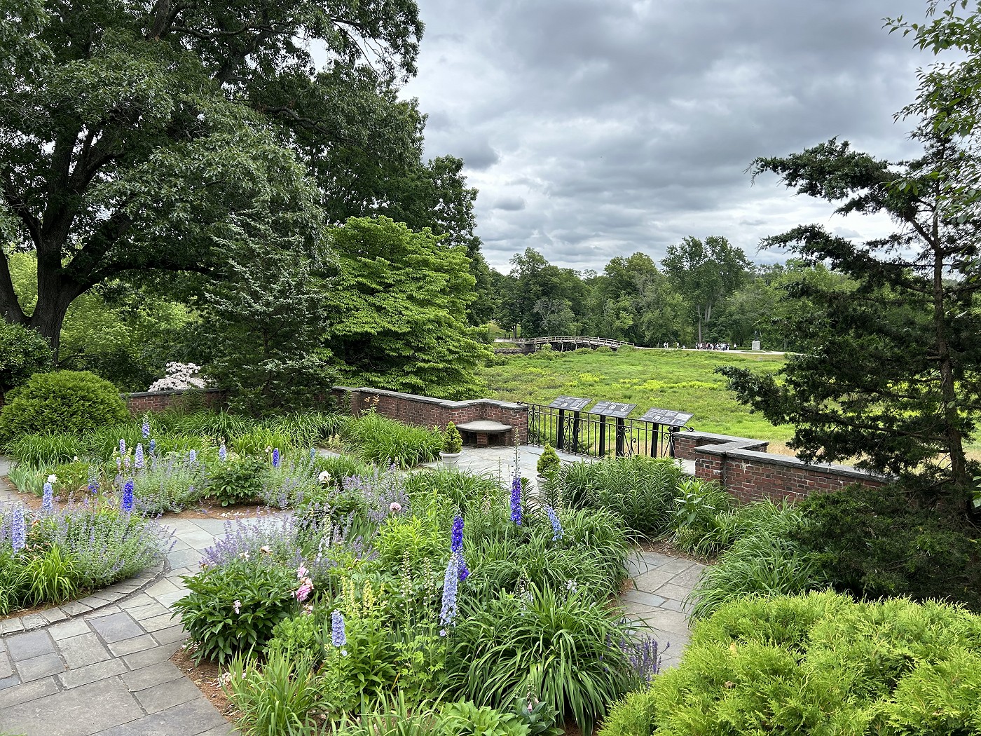
Ten of the river miles along the Sudbury and Concord Rivers lie within the boundaries of Great Meadows National Wildlife Refuge, established to protect the outstanding waterfowl habitat associated with the extensive riparian wetlands.
Hydrology
From their headwaters in Westborough to their confluence at Egg Rock in Concord, the Sudbury and Assabet Rivers drop vertically about 155 and 175 feet respectively, resulting in moderate gradients averaging a 5 to 5.5 foot drop per mile. The Concord River flows north another 15 miles, dropping 70 feet before reaching the Merrimack River in Lowell. The waters of the steeper reaches were harnessed during the industrial revolution to facilitate operation of the Middlesex Canal between Lowell and Boston1, and for hydropower through the construction of numerous dams and millponds. These structures are concentrated on the upper reaches of the Sudbury and the lower reaches of the Concord, while the Assabet River's steeper gradient favored dams along most of its length.
Within the Wild and Scenic segment, which contains no dams, gradients are gentler. From the Danforth Street Bridge in Framingham to Egg Rock in Concord, the Sudbury River drops a little more than one inch per mile, or about 1.5 feet. From Egg Rock to the Route 3 Bridge in Billerica, a distance of 8 miles, the Concord River drops only a few inches.
1Prior to the founding of Lowell in 1836, the 27-mile canal was an early ‘highway’ connecting the Merrimack River in Chelmsford with the Charles River in Charlestown and the Port of Boston. The summit and primary water source of the canal was the Concord River in North Billerica; the Middlesex Canal Corporation built the dam that created the summit pond impoundment. From 1803 until the gradual advance of iron horses and railroads (1835) replaced the horse drawn canal boats, the canal corporation operated until 1851, when the Talbot Brothers acquired the water rights, but they soon switched from hydropower to steam power, rendering the dam obsolete. The canal charter was revoked in 1860, but the dam remained. Though quite scenic and sometimes wild, this section of the Concord River did not meet the criteria for “Wild and Scenic Rivers” classification, which prioritizes preserving a river’s free-flowing and natural condition. However, the SuAsCo RSC advocates for ecological restoration; dam removal and freeing the river.
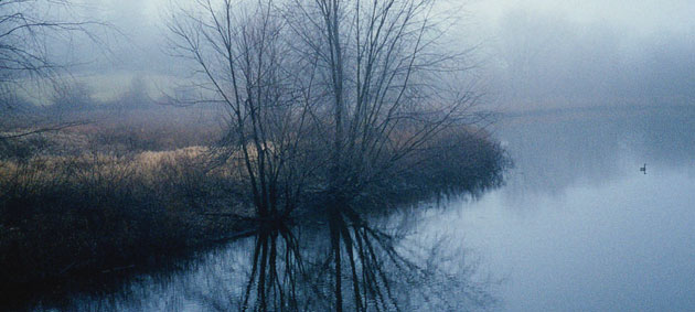
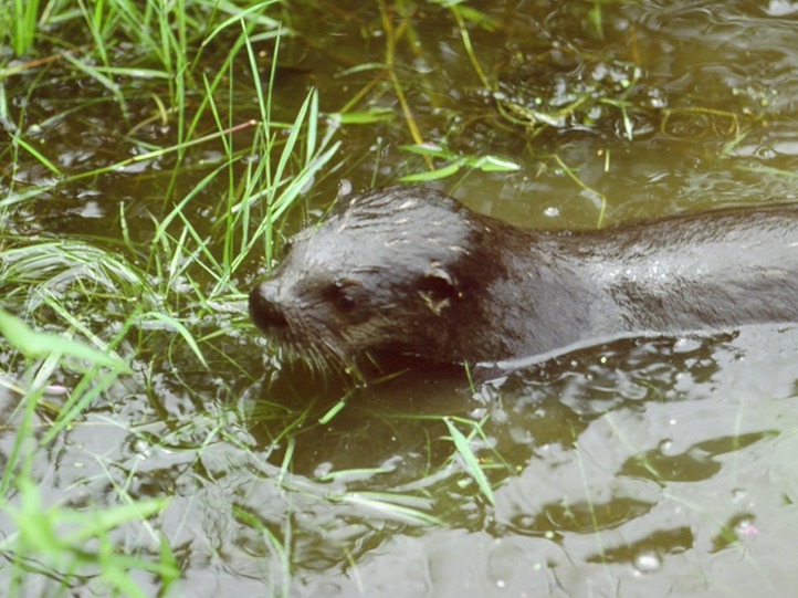
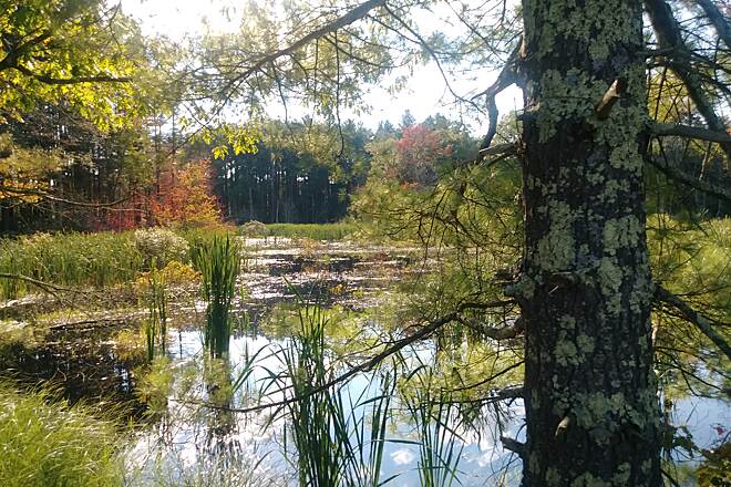
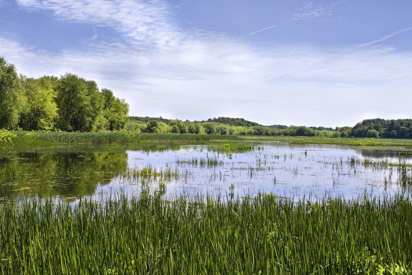
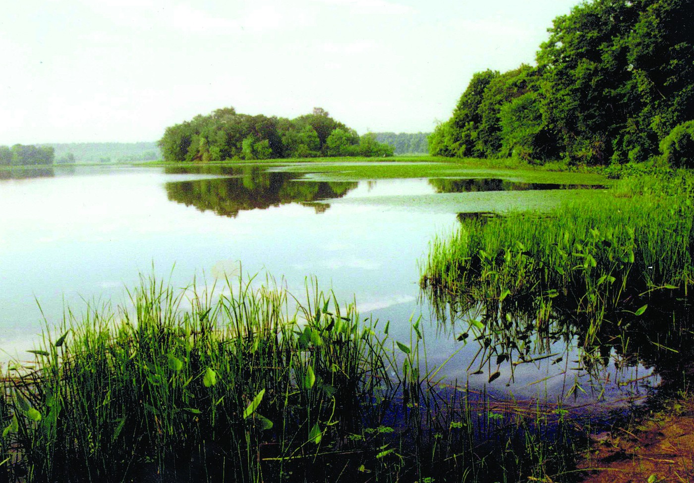
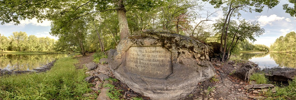
Images of the Rivers